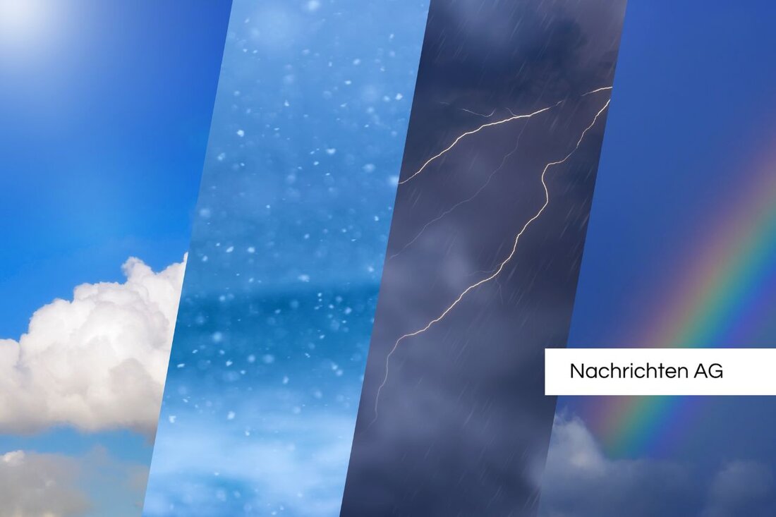
Bavaria in a state of emergency: thunderstorms and heavy rain are threatening on Sunday!
Landsberg am Lech: Weather warnings for June 20, 2025 - heat wave and storms with heavy rain expected in Bavaria.

Bavaria in a state of emergency: thunderstorms and heavy rain are threatening on Sunday!
On Sunday, June 20, 2025, people in Bavaria can expect hot weather, but this will be accompanied by the threat of storms. Loud Messenger district temperatures continue to rise and increase the risk of forest fires. This is accompanied by uncertainty about further weather developments, as the weather models disagree.
A particularly high temperature was measured on June 14th in Kitzingen, where the hottest weather of the year was 35.5 degrees. Values between 26 and 32 degrees are forecast for Sunday, coupled with thunderstorms that are expected to arrive from late morning. On Monday night, heavy rain of up to 60 l/sqm lasting several hours is expected in eastern Bavaria and the Alps, which clouds the anticipation of the coming days.
Severe weather warnings have already begun in various districts. Thunderstorm warnings apply until 11:30 p.m. for areas such as Neuburg-Schrobenhausen and Augsburg. The red warning level is particularly worrying in Neu-Ulm and Unterallgäu, which warns of severe thunderstorms, heavy rain and hail. The warnings were also expanded in Kaufbeuren and Garmisch-Partenkirchen.
What are the expectations for the coming week? On Monday it is expected to remain cloudy with possible showers and highs between 20 and 25 degrees, while on Tuesday more sun will come into play again and temperatures can reach up to 28 degrees in the Lower Main.
Severe weather phenomena and warning levels
The current situation will continue to be closely monitored by the weather service providers. So reported Weather.com have different warning levels for wind gusts, varying between 50 and over 140 km/h. Wind speeds of 65 to 85 km/h are warning level 2, while anything above 140 km/h is classified as extreme.
In addition, there are specific levels for heavy rain, which should also trigger an alarm. The warning levels range from 15 to over 60 l/m² in a very short time, indicating persistent heavy rain and possible flooding.
It is therefore advisable for readers in our region to follow developments closely. Whether the sun ultimately wins the day or the thunderstorms prevail remains to be seen. Nevertheless, the advice is to prepare accordingly so that you are prepared for all weather conditions.
Current information and advance warning levels
In this context, the severe weather center always offers up-to-date information to inform citizens about impending storms such as storms, heavy rain or ice. A distinction is made here between advance warnings (in yellow), which are issued up to 48 hours in advance, and acute warnings, which confirm the occurrence of a natural hazard. The information is updated around the clock and adjusted by professional meteorologists Severe Weather Center.
The weather situation is developing rapidly. So stay informed and be careful, because when it's raging outside, you have to react quickly!

 Suche
Suche
 Mein Konto