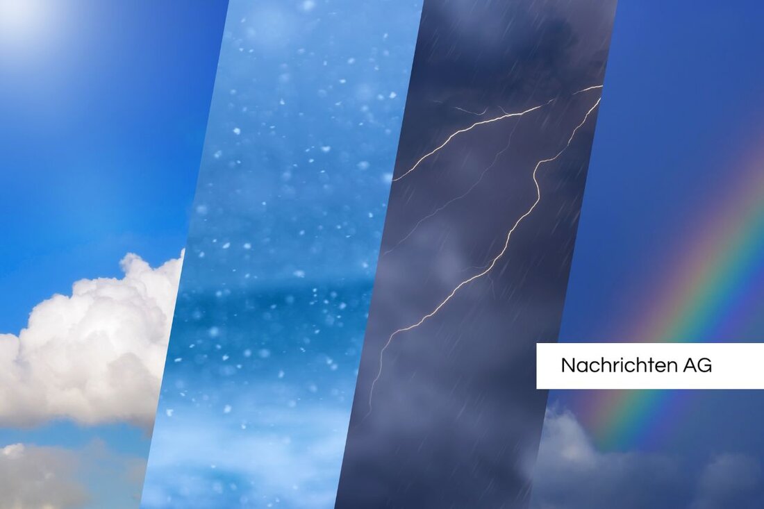
Thunderstorm warning for Franconia: What you need to know now!

Thunderstorm warning for Franconia: What you need to know now!
The German Weather Service (DWD) published an official warning of strong thunderstorms for parts of Franconia on April 21, 2025. This warning referred to the evening of Easter Monday and was considered level 2 out of 4. At this warning level, it is pointed out to an increased danger that could cause potential damage. The possible dangers include lightning strikes, falling branches or objects, as well as rapid flooding of roads and underpasses. In addition, the risk of aquaplaning and hailstorm is pointed out. The population is called to take precautionary measures and prepare for the impending dangers, while the DWD continuously observes the weather. There are currently no further warnings for the counties and independent cities in Franconia.
The affected regions included Ansbach, Aschaffenburg and Bamberg, but all remained without warnings. The list of counties without active severe weather warning is long: The same applies to Coburg, Erlangen, Fürth, Haßberge, Hof and many other cities. During such warnings, the DWD assumes possible local damage and dangerous weather developments and recommends to regularly find out about the weather and to avoid risky behavior.
weather forecast and thunderstorm development
According to the weather forecast, which was published on the same day at 8:00 p.m., thunderstorms and heavy rain are expected in the Franconia region. The weather is influenced by low air pressure contrasts and mild air, as well as a small low in higher layers of air. The worst conditions are to be expected for the evening, with heavy rain of up to 15 l/sqm in a short time. Small-grained hail and strong gusts between 55 and 70 km/h from the southwestern direction are also possible.
The thunderstorms quickly subside on Tuesday night. However, there can be rain in region regionally, although in some areas even heavy rain over 20 l/sqm cannot be excluded in several hours. For Tuesday, there is a low probability for individual thunderstorms in the west and northwest, whereby the thunderstorm is increased in the northeast.
warning levels of the DWD
The warning levels of the DWD are divided into four categories to illustrate the danger potential of the weather:
| warning level
| ||
|---|---|---|
| 1 | yellow | ordinary weather -related hazards |
| 2 | orange | striking weather with increased danger |
| 3 | red | very dangerous and widespread storm |
| 4 | dark red | Extreme storm with danger |
A preliminary warning is also used if storms are predictable, but there are still no precise details. In such cases, the population should also regularly obtain information and, if necessary, prepare protective measures. The DWD offers current information on its website to warn and inform citizens in good time.
| Details | |
|---|---|
| Ort | Franken, Deutschland |
| Quellen | |
