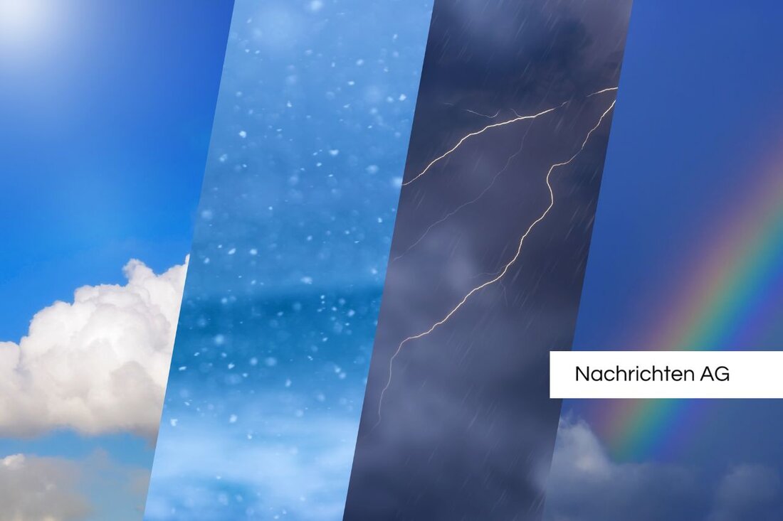
Heat wave and thunderstorm: Bavaria is preparing for storms!
On June 14, 2025, the DWD warns of thunderstorms and heavy rain in Oberallgäu and other Bavarian districts.

Heat wave and thunderstorm: Bavaria is preparing for storms!
The heat wave “Made in Germany” not only brings a summer atmosphere this weekend, but also a lot of potential for thunderstorms. According to the current forecasts from the German Weather Service (DWD), people in Bavaria and North Rhine-Westphalia can prepare for extreme weather conditions. On Saturday, June 14, 2025, temperatures of up to 35 degrees will be measured in Bavaria, while highs of 34 degrees are expected in North Rhine-Westphalia. This could be similar to meteorological roulette, because after a hot day, thunderstorms start to appear in the afternoon.
In Bavaria there are already serious thunderstorm warnings for several districts that are valid until 8 p.m. The affected regions include Unterallgäu, Oberallgäu, Ostallgäu as well as Kempten, Memmingen and Garmisch-Partenkirchen. Particularly in Garmisch-Partenkirchen and Oberallgäu, gusts of up to 70 km/h, heavy rain of around 20 l/m² and even small-grain hail are expected, which could make the situation critical. Merkur reports also of thunderstorms that could increase in intensity in Swabia and western Upper Bavaria over the course of the evening - with gusts of up to 100 km/h!
Warning levels and severe weather forecasts in NRW
The situation is similar with our neighbors in North Rhine-Westphalia. Here too, the DWD has increased the warning levels. Warning level 2 currently applies in many regions, while warning level 3 has even been declared southwest of Cologne. Ruhr24 reports of thunderstorms that will appear in cities such as Essen and Dortmund from Saturday afternoon. And here too, large amounts of rain of up to 40 liters per square meter are expected and the possibility of gusts of up to 80 km/h remains. For comparison: While temperatures in North Rhine-Westphalia rise to 34 degrees on Saturday, the clouds melt on Sunday to produce more showers and thunderstorms with temperatures still warm between 22 and 26 degrees.
These extreme weather conditions show how unpredictable the weather is at the moment. The severe weather center ensures that the population remains informed about the various warning levels. The overview maps from the Unwetterzentrale provide a constantly updated insight into the situation and show where acute dangers lurk. It's good to keep in mind that there are both advance warnings and acute warnings, which are constantly checked and updated by experienced meteorologists.
There could be a short break on Monday night when temperatures drop to 10 to 13 degrees. But further thunderstorms and heavy rain are already forecast for next week. One can only hope that everyone gets through this unpredictable weather safely!

 Suche
Suche
 Mein Konto