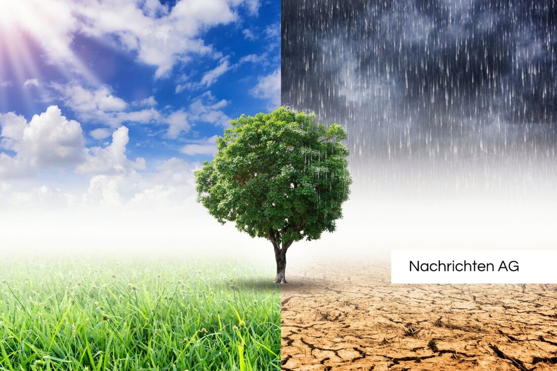
Hurricane Joshua is sweeping across Germany: floods and storm surges are threatening!
Hurricane Joshua hits Trier with speeds of up to 85 km/h. Strong gusts of wind and possible damage threaten the region. Flood warnings apply.

Hurricane Joshua is sweeping across Germany: floods and storm surges are threatening!
A powerful hurricane has Germany firmly in its grip: Hurricane “Joshua” swept across the country on Thursday and broke numerous weather records. With wind speeds of up to 160 km/h, measured on the Feldberg in the Black Forest, the squalls were so violent that they caused chaos in many places. 115 km/h were also measured on the Brocken, while arcs of 85 km/h were already recorded in Trier. The meteorologists are predicting thunderstorms with hurricane-like gusts and heavy rain for the next few days, which are definitely dangerous. Merkur also reports a possibility of tornado formation, which further exacerbates the situation.
During the night from Thursday to Friday (October 24th), the storm surge rolled onto the North Sea coast, and the Hanseatic city of Hamburg feared flooding that could affect the fish market. The coastal towns in Schleswig-Holstein and Lower Saxony are expected to suffer particularly great damage, where there is a risk of flooded streets and demolitions. Hurricane gusts with speeds of up to 120 km/h are forecast on the coastal regions. The situation is described as “explosive” and the warnings never end – even after the storm has subsided, the danger from falling branches and fallen trees remains.
Preparations and consequences of the hurricane
Railway readiness is in full swing: delays and route closures are expected. Road traffic could come to a standstill in many regions. The responsible authorities advise people to be careful and, above all, to avoid forest areas. In Zagreb, the Lower Saxony State Forestry Office pointed out that falling branches also pose a risk due to weakened trees.
The Federal Maritime and Hydrographic Agency (BSH) is already issuing storm surge warnings for the coming days. According to the forecasts, the flood on the North Frisian coast will be around 1.5 meters higher than the average flood. In Hamburg, the St. Pauli water gauge is expected to rise by only 25 cm above the storm surge mark. This will pose additional challenges for residents and tourists in the city.
Climate change as a factor for extreme weather events
Given the devastating effects that “Joshua” is already having, attention is also drawn to long-term patterns. Scientists warn of more frequent and more intense extreme weather events due to climate change. According to Deutschlandfunk, precipitation in particular has increased worldwide since the 1950s, and the average temperature in Germany has risen continuously. These developments contribute not only to storm surges, but also to flood events.
The situation has been particularly serious in recent years, as shown by the devastating floods in Spain in 2024 or the heavy rainfall in other European regions. These events illustrate how important appropriate flood management and protection of coastal regions is. For the coming weeks, it is recommended to closely follow the weather reports and prepare for possible inconveniences in good time.
Hurricane Joshua is more than just a weather phenomenon. It is a further indication that climate change is also increasingly present in Germany and presents us with new challenges with each passing season. Urgent measures to improve flood protection are now required so that we are better prepared for the future.

 Suche
Suche
 Mein Konto